
The big day had finally arrived, we were scheduled to fly from Kathmandu to Lukla to begin our Himalayan trek! And Jenni was nervous (isn’t she always?). The suspense was killing us as we waited at the domestic terminal of the Kathmandu airport for nearly six hours, only to be sent home around 2 pm when they called off all flights for the rest of the day. (Flights to Lukla are often cancelled due to wind). This has got to be one of the craziest airports I’ve ever been to: hectic as can be, there does not appear to be any usage of lines, but people gather in large groups around the piles of expedition gear, waiting for their turn to check in, and there are even monkeys crawling round outside. Emotionally drained, we headed to a hotel in Thamel for the evening to try again in the morning.


Friday morning brought us success and we finally boarded the dinkiest of planes (I’m still nearly certain this thing is a toy, not a commercial vehicle) for an exciting journey to Lukla.


We grabbed seats on the left to enjoy the view of the mountains coming in. The views were pretty spectacular, if not a bit fear inducing. Luckily, a Swiss veteran of the Himalayas was seated next to Jenni and coached her through the ride. The landing is by far the most nerve-wracking part, approaching a runway that is maybe 500 meters long and uphill so the plane can stop in time.

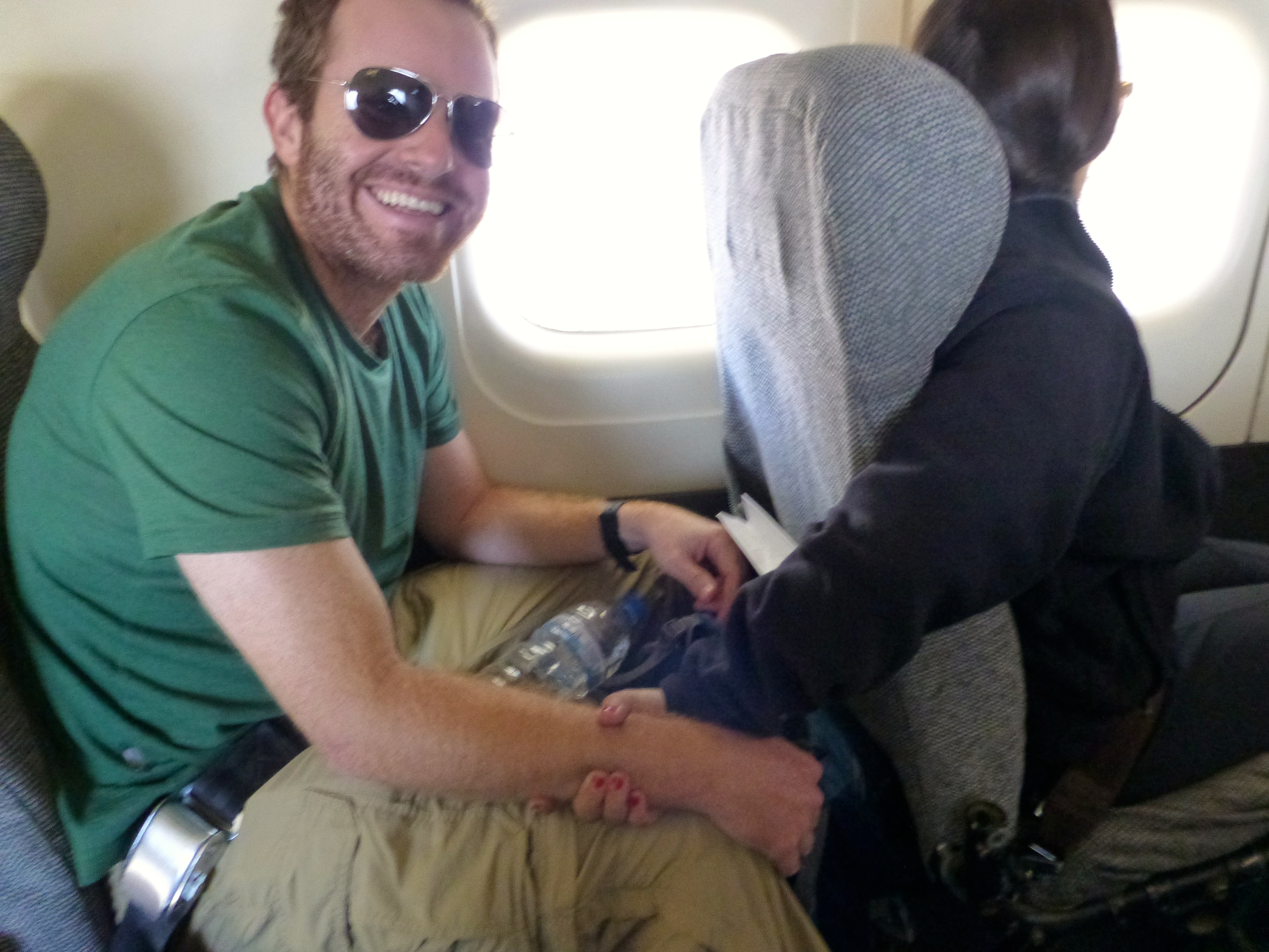
Apologies for the lack of photos. Jenni had Alan’s hand in a deadlock grip. Proof:
Upon arriving in Lukla we met our porter, Sange, who quickly earned our respect, hauling our duffel bags up and down the mountains with incredible speed and agility. Like all porters, he carries his cargo using a strap that goes over his head. And we learned that unlike say the Inca trail, there is no government regulation of how much porters can carry. So those willing to earn more in exchange for more bodily abuse might carry as much as 80-100kg!!

After our first of what proved to be innumerable cups of tea, we set out on our trek. In other words, we jam jam-ed. (Jam jam is Nepali for “let’s go.” Lots of jam jamming happened from here on out). The hike to Phakding was a leisurely walk over a mostly stone trail. We got our first views of some awe-inspiring mountains, though these were only ~6000m. To put that in perspective, most of these Himalayan dwarves would be the tallest mountains on every other continent except South America (Denali in Alaska is just under 6200m but many of these non-famous Himalayan peaks are higher). We had yet to peep the truly awesome 8000m peaks to come. We were also introduced to dzopkyos, a hybrid of cattle and yak, used to transport goods up and down the mountains (at and above Namche you mainly see yaks, but it’s too warm for the furry yaks down at this altitude). We learned right away that it’s not always easy to pass a dzopkyo (or yak) train and the traffic jams can be brutal.


Already we began passing Tibetan prayer flags and wheels, learning from Rishi (our guide) that we always had to pass to the left of the manis (i.e. clockwise, with manis to our right). We also observed that many locals have red cheeks from the cold weather.


We spent our first night in the happening (I kid you not) Himalayan town of Phakding. We checked out the Sherpa Liquid’s bar pool hall, bumping with some Guns N Roses, never mind that we (and our fellow Himalayan Glacier trekkers) were the only guests. (On this portion of the trek we were together with Michiel, Regina, Jarrod and Jenna from another Himalayan Glacier group, and their guide Dole. We parted ways with this group when we headed up the Gokyo Valley. Andrew and his guide, Shankar, were with us through EBC and Kala Patthar, and we parted ways when we continued down to Pheriche and Andrew went to climb Island Peak.) There was also a reggae bar and plenty of other bakeries, teahouses and restaurants.


Jenni was beyond pleased by the presence of dogs at this elevation. She definitely considered sticking one in her bag. Who are we kidding, in the porter’s bag.

The land is quite fertile at this elevation, and we passed several steep terraced hillsides, planted with potato, cabbage, bok choy and tomato (who would have thought we’d be eating fresher and more local up here than back home?). We walked along the Dudh Kosi River, which drains the Mount Everest massif, crossing our first of many suspension bridges. While generally well constructed, some of these bridges are a little scary for one with a fear of heights.


The walk from Phakding to Namche Bazaar was our first “real” trekking day, taking around six hours including a stop for lunch. We crossed a few checkpoints where we entered Sagarmatha National Park. While waiting for the guides to pass through the checkpoint we played with a few local kids. They succeeded in toppling Alan over and in the process his boot crushed the poor kid’s hand. A few tears later and the two of them were playing patty cake. Tough little nuggets, those Himalayan raised kids are.


The scariest bridge EVER was crossed: the Hillary Bridge. Newly built to replace the aging bridge Edmund Hillary sponsored long ago, which itself was up high, this one soars above at something like 200m high. Jenni was able to chant “it’s just a walkway” to herself and race across it without turning to a panicky mess. This is not to say that she was calm in doing so.


This day proved to be one of the worst weather-wise on our whole trek (luckily) and so we missed the chance to spot Everest from the first viewpoint.
After a few hours of steeper climbing past the bridge we arrived at the booming mountain metropolis of Namche Bazaar. Kidding aside, this hilltop village is impressively large. It’s nestled in a steep hillside shaped like an amphitheater, lined with stone staircases and countless tea houses trimmed in blue, green and red. Above and within are terraced farm plots.


We settled into what turned out to be one of our favorite teahouses, enjoying our 5 o’clock tea and cookies (a trekking ritual we already deeply miss) before a day we thought would be restful.


The “rest” day started out promising: the sun was shining, we climbed briefly up to the museum where we caught our first glimpse ever of the world’s tallest mountain (cue Jenni gleefully exclaiming “I’ve seen Everest! We can go home now!”), as well as other big and beautiful peaks like Lhotse and Ama Dablam. From there a few from our group made the smart decision to actually rest, while the remainder of us headed up for further acclimatization.


We viewed the old Syangboche airport (i.e. dirt strip), which is the closest landing strip to EBC but is rarely used. From there we continued ascending as the weather continued to decline. Through rolling fog we made our way up to the Hotel Everest View and got some sneak peaks of the spectacular vista when the clouds parted. Feeling the first effects of the altitude the mood declined for many of us. We did, however, eat lunch in Khumjung where we also saw our first yak, a “yeti” skull (recommend skipping this), and the Hillary school.


Back in town we had our last shower for over a week, something Alan enjoyed and Jenni regretted as soon as she realized her hair would freeze while she waited for it to dry. Also because those shampoo sheets are the worst invention known to man. (They do not lather, and they do not wash out. I had clumps in my hair for the next week.)
The next day we had about an hour and a half of trekking left with the half of our group going directly to EBC. The trail was lovely here, with fantastic views of Everest. We passed the Tenzing Norgay Memorial Stupa and saw some huge birds that I think were vultures. As the trail split we said goodbye to the others and turned left towards Gokyo Valley, leaving behind warmth and crowds.


Practical Info
Himalayan Glacier made all arrangements for us, but you could pick up guides and porters in Lukla or Namche Bazaar, I think. You can also find plenty of accommodation and some gear in these towns. We visited a store in Namche selling books, booze, SD cards, batteries, etc. It is a good idea to stock up on what you might need in Namche, as availability drops dramatically (and prices rise with the elevation)…especially if you’re heading up the Gokyo Valley and off the main EBC trail. Phakding is smaller than Lukla or Namche but still has several tea houses and some bakeries and bars.
Transportation: We took a Yeti Air flight from Kathmandu to Lukla. Try to sit on the left (when facing forward) of the plane for great mountain views. It is pretty neat to get off a plane and just start walking. Though it is far less common, you can begin your trek in Jiri and after several days join the trail between Lukla and Phakding.
Accommodation: In Phakding we stayed at Snowland Lodge. Our room had two twin beds and a private toilet, though there was a large square cut out of the wall connecting our bathroom to our neighbors. This was weird, and gave us flashbacks to our NYE experience in Agra, India. I think there were outlets in the room.
In Namche we stayed at The Nest and our room was much larger with a double bed and a nicer bathroom with hot water shower. We could walk out onto an unfinished balcony type space (I think rooms 210&211 have this feature). At The Nest there were outlets in our room and the WiFi for 500/day worked fairly well. There are several accommodation options in the villages at these low elevations, especially in Namche. Including the Hotel Hill-Ten.
Food and Drinks: All our meals were included in our tour arrangements, but generally breakfast costs 200-400 and lunch and dinner more like 300-700. Bottled water is readily available from Lukla to Namche for 80-120/liter. Beyond here, we used purification methods as water becomes more expensive and it is harder to recycle/dispose of waste.
April 3-7, 2014 (Thursday-Monday)

2 thoughts on “Jam Jam!”